
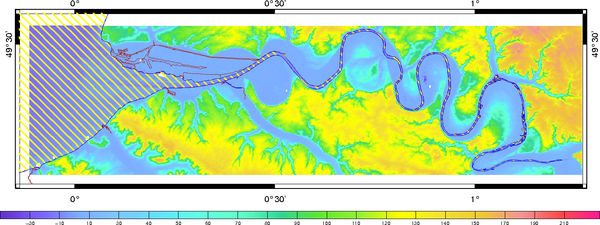
For shelf and coastal ocean modelling, bathymetry is one of the most critical parameter. In along-shore configuration, accuracy of bottom topography needs to be better than 1 meter, and resolution close to 100m.
Digital terrain model construction
DTM are built from three main type of data:
- depth soundings, multi-beam data, LIDAR
- elevation DTM (such as SRTM)
- pre-existing DTMs (to constrain transition at DTM boundaries)
Unstructured mesh techniques (linear triangles) are used to map bathymetry and elevation on a regular (structured) grid. Reference levels (ellipsoid, geoid, mean sea level etc…) can be dealt with to insure metric consistency.
